#Shasta-Trinity National Forest
Text
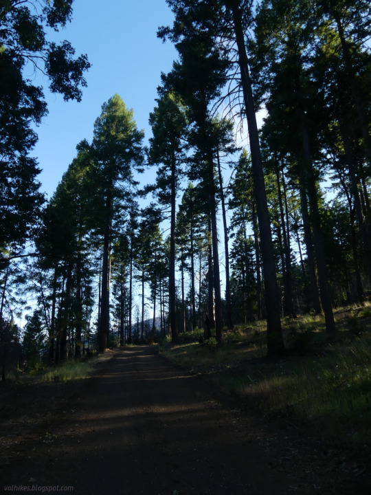

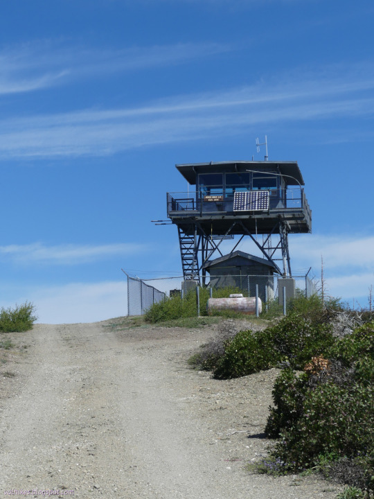
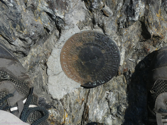


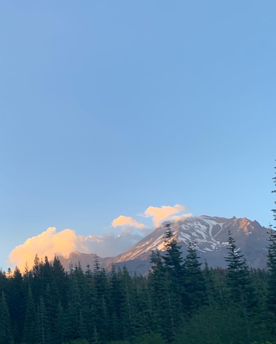
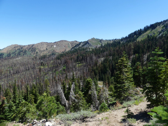
Six Rivers National Forest, California
Visiting the 4th, highest, and only still active fire lookout on South Fork Mountain. That makes all of them!
#hiking#dayhike#peakbagging#SixRiversNF#firelookout#Trinity County#California#landscape#nature#outside#ShastaTrinityNF#TrinityNF#travel#hike#day hike#mountains#Six Rivers National Forest#Trinity National Forest#Shasta-Trinity National Forest#wildlife#wildflowers#flowers#views#peakbagger
55 notes
·
View notes
Text
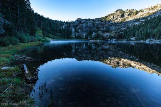
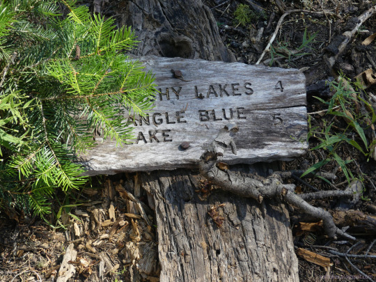
tangle blue lake (shasta-trinity national forest)
©cpeblow (2015)
#landscape#shasta national forest#trinity alps#back packing#camping#hiking#dawn#reflections#still water#shasta-trinity
65 notes
·
View notes
Text


#video#photo#national park#national forest#Shasta#Shasta trinity#forest#ca#cali#California#mountain#travel#road trip
2 notes
·
View notes
Text

Mount Shasta in Winter
An astronaut aboard the International Space Station took this nadir photograph of Mount Shasta as the station passed over California. Mount Shasta is a 14,179-foot (4,233-meter) peak situated between Redding, California, and the Oregon-California border. Shasta’s slopes are at least partially snow-covered year-round. A more extensive snowpack during winter makes the mountain’s seven glaciers difficult to distinguish.
Mount Shasta is a stratovolcano constructed during four cone-building episodes, each separated by periods of less frequent central-vent eruptions (near the present peak) and flank-vent eruptions. Each of the four episodes of volcanism that formed Mount Shasta originated from separate eruptive centers, with two occurring approximately 9,000 to 10,000 years ago near Shastina and Hotlum Cone (located beneath Hotlum Glacier). Black Butte, located southwest of Mount Shasta (just off the bottom-left side of this image), was formed approximately 9,500 years ago when a series of flank-vent eruptions produced overlapping dacite domes.
Volcanic activity at Mount Shasta produced andesitic lava flows in addition to mudflows and block and ash flows. These collective eruption events produced 350 cubic kilometers (84 cubic miles) of material, making Shasta the largest volcano by volume within the greater Cascade Range.
Mixed conifer forests encircle the base of Mount Shasta and comprise part of the Shasta-Trinity National Forest. The effects of logging are visible as irregular patches of forested and barren land cover. Forest thinning is performed as an effort to make the forest more resilient to pests and decrease the danger of large fires. Silviculture projects within the region have sought to remove overly dense forest stands that are at risk of root rots or destructive crown fires.
Astronaut photograph ISS068-E-53629 was acquired on February 12, 2023, with a Nikon D5 digital camera using a focal length of 500 millimeters. The image was provided by the ISS Crew Earth Observations Facility and the Earth Science and Remote Sensing Unit at Johnson Space Center. The image was taken by a member of the Expedition 68 crew. It has been cropped and enhanced to improve contrast, and lens artifacts have been removed. The International Space Station Program supports the laboratory as part of the ISS National Lab to help astronauts take pictures of Earth that will be of the greatest value to scientists and the public and to make those images freely available on the Internet. Additional images taken by astronauts and cosmonauts can be viewed at the NASA/JSC Gateway to Astronaut Photography of Earth. Caption by Cadan Cummings, Jacobs, JETS II Contract at NASA-JSC.
5 notes
·
View notes
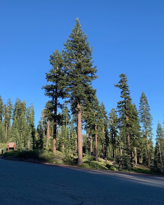
Text
shasta-trinity national forest, ca
#american gothic#regional gothic#my photos#california gothic#liminal spaces#gas stations#california#liminal#forest
108 notes
·
View notes
Photo
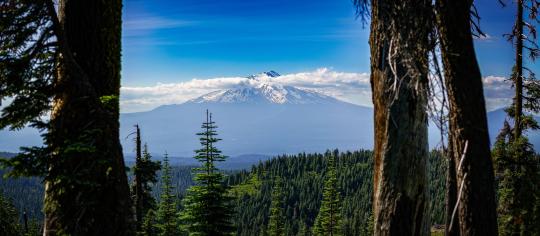
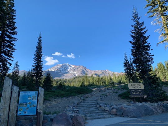
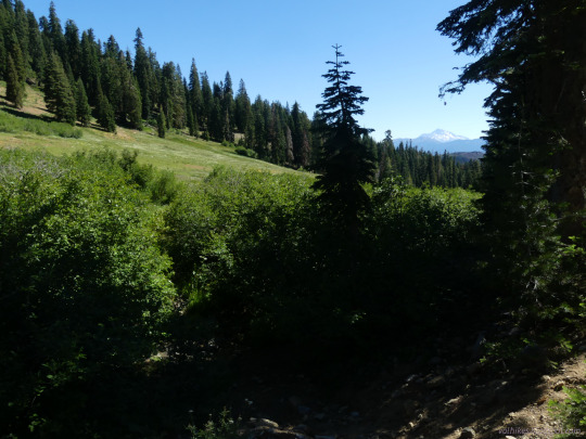
Mount Shasta from the Pacific Crest Trail. Shasta-Trinity National Forest, California, USA. [4782 x 2090] [OC]
6 notes
·
View notes
Text
Shasta-Trinity National Forest [2023]
6 notes
·
View notes
Photo

☺️ Don't hide behind social analytic tools... Be social! 😄 #marketing #SocialMedia #SocialMediaMarketing (at Shasta–Trinity National Forest) https://www.instagram.com/p/CpfgW4_LwGA/?igshid=NGJjMDIxMWI=
4 notes
·
View notes
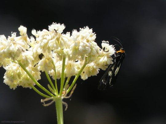
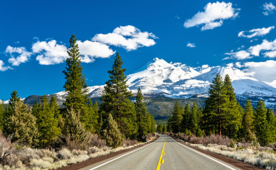
Photo

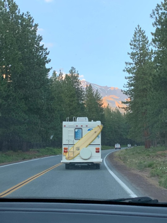
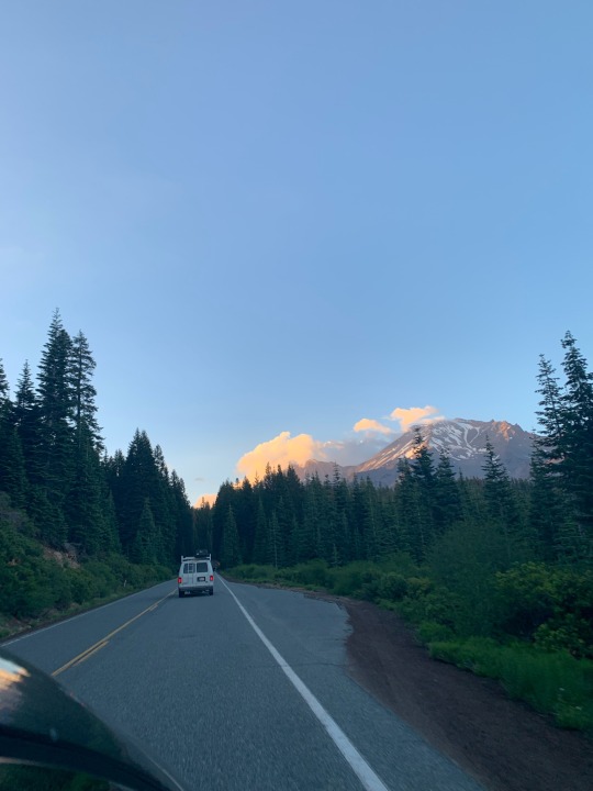
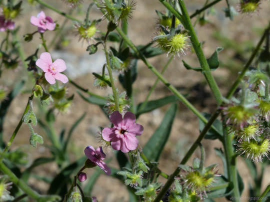
Ring of Fire Tour Day 1. After driving to Mt. Shasta Janet and I pitched our tent then drove up the volcano to hike around Panther Meadows. We did not see any panthers but we did see lots of beautiful wild flowers in this Alpine meadow. The trail loosely follows the stream created by a bubbling spring. It also presented wonder views of the top section of Mt. Shasta and the mountains surrounding her. Mount Shasta (Shasta: Waka-nunee-Tuki-wuki; Karuk: Úytaahkoo) is a potentially active volcano at the southern end of the Cascade Range in Siskiyou County, California. At an elevation of 14,179 feet (4,321.8 meters), it is the second-highest peak in the Cascades and the fifth-highest in the state. Mount Shasta has an estimated volume of 85 cubic miles (350 cubic kilometers), which makes it the most voluminous stratovolcano in the Cascade Volcanic Arc.The mountain and surrounding area are part of the Shasta–Trinity National Forest. (at Mt. Shasta, Ca) https://www.instagram.com/p/CgSgYjDPC71/?igshid=NGJjMDIxMWI=
3 notes
·
View notes
Photo
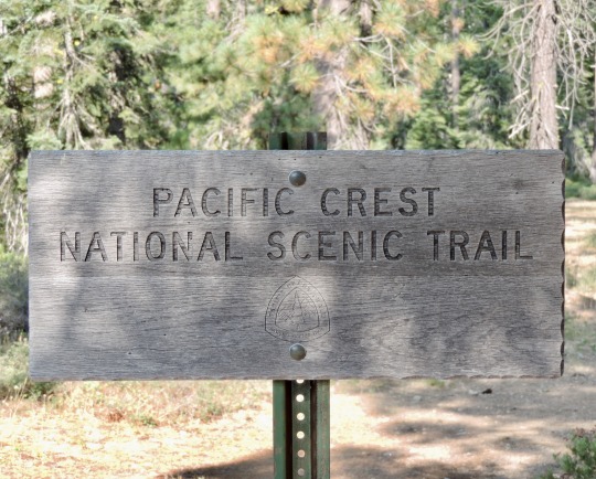
Weathered Pacific Crest Trail Sign, near Scott Summit, Shasta-Trinity National Forest, California, 2014.
The PCT has been closed from about this point northward to near Ashland, Oregon because of a large wildfire. A bad year for through hikers as the fire began just about the date they would have arrived at the Oregon border.
3 notes
·
View notes
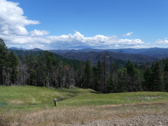
Text
Shasta-Trinity National Forests, California.
1 note
·
View note
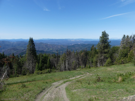
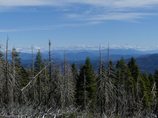
Text
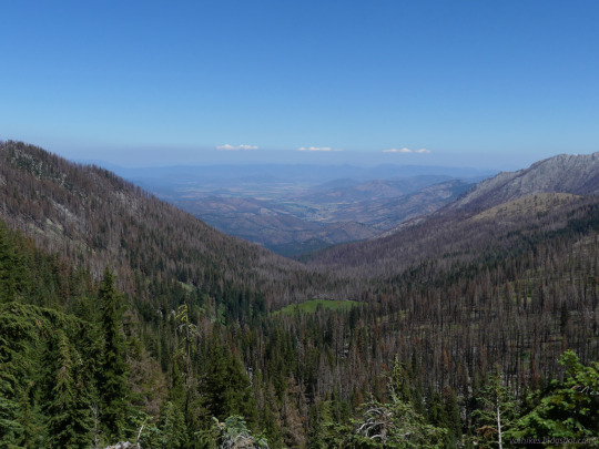
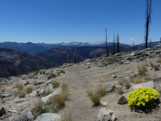
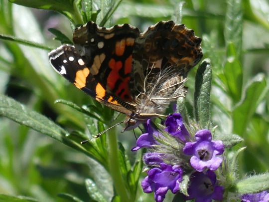
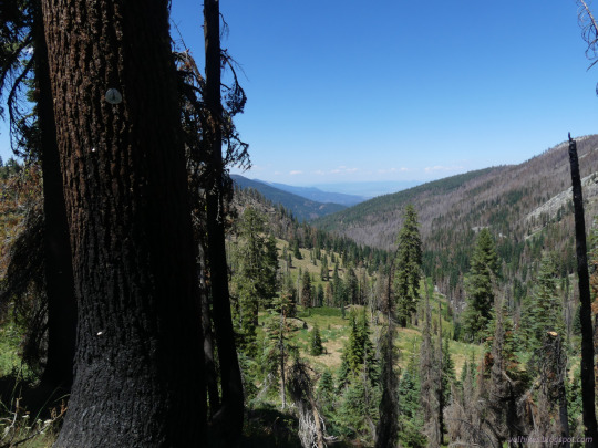
Shasta-Trinity National Forest and Klamath National Forest, California
After 5 days of wiggling about and hard trail, it only took the 6th day to get back. Through a fair bit of burn.
#hiking#nature#landscape#travel#hike#outside#mountains#California#backpacking#Pacific Crest Trail#KlamathNF#Klamath National Forest#Shasta-Trinity National Forest#ShastaTrinityNF#Trinity Alps Wilderness#burn#get back#finished#PCT#butterfly#forget me not
3 notes
·
View notes
Text
California rural schools ask Congress for crucial funding
WASHINGTON —
Anmarie Swanstrom had driven four hours along twisting mountain roads, through the fire-scarred Shasta-Trinity National Forest, to Sacramento to catch a red-eye flight.
Now, here she was — a school superintendent from impoverished Hayfork, Calif. — clutching a pair of black high heels, power-walking in bare feet across Capitol Hill.
She had come to plead for money for the 340…

View On WordPress
0 notes
Text
Don’t mind my friend talking about how pissed she gets when people feed the wildlife lol
#chipmunk#forest#cute#Shasta#Shasta trinity#National forest#ca#cali#California#travel#road trip#camping#mountain
1 note
·
View note
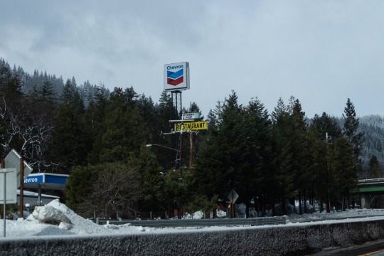
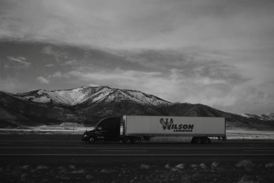
Text
Millions in central US brace for snow, rain
Millions in central US brace for snow, rain
This image taken from a California Department of Transportation (Caltrans) traffic monitoring camera shows snowy conditions on a highway known as California SR-89 Snowman, in the Shasta-Trinity National Forest, California, on Saturday, December 10. 2022. (Caltrans via AP)
PA
A massive winter storm was battering the central United States on Monday, threatening millions of people with heavy snow,…
View On WordPress
0 notes
Conversation
U.S. Daily High Temperature Records Tied/Broken 10/15/22
Juneau, Alaska: 56 (previous record 55 1981)
Unincorporated Petersburg Borough, Alaska: 64 (previous record 59 2018)
Sitka, Alaska: 63 (previous record 61 1969)
Mt. Shasta, California: 85 (also 85 1961)
Six Rivers National Forest, California: 97 (previous record 96 2002)
Unincorporated Trinity County, California: 85 (also 85 2015)
Trinity National Forest, California: 97 (also 97 2015)
Boca Chica Key, Florida: 92 (previous record 91 2018)
Waimea Falls Park, Hawaii: 90 (also 90 1987)
Schweitzer Basin summit, Idaho: 56 (also 56 1995)
Kingman, Kansas: 87 (also 87 1999)
Kootenai National Forest, Montana: 58 (also 58 1991)
Unincorporated Nye County, Nevada: 77 (previous record 76 2015)
McAlester, Oklahoma: 93 (also 93 2015)
Bald Knob summit, Oregon: 91 (previous record 86 2015)
Calvert Peak summit, Oregon: 83 (previous record 81 2015)
Cannibal Mt. summit, Oregon: 82 (previous record 79 2002)
Corvallis, Oregon: 84 (previous record 79 2004)
Grand Ronde Community, Oregon: 73 (previous record 70 1991)
Kenvon Mt. summit, Oregon: 84 (previous record 83 1991)
Unincorporated Lake County, Oregon: 79 (previous record 76 1997)
Unincorporated Malheur County, Oregon: 84 (also 84 1991)
Mt. Hood National Forest, Oregon: 81 (previous record 79 1978)
Onion Mt. summit, Oregon: 81 (previous record 80 2015)
Oregon City, Oregon: 88 (previous record 82 1991)
Portland, Oregon: 87 (previous record 81 1991)
Round Mt. summit, Oregon: 71 (previous record 70 1997)
Salem, Oregon: 92 (previous record 89 1901)
Siuslaw National Forest, Oregon: 82 (previous record 77 2015)
Squaw Peak summit, Oregon: 80 (also 80 2015)
Sugarloaf Mt. summit, Oregon: 85 (also 85 1991)
Troutdale, Oregon: 87 (previous record 81 1991)
Umpqua National Forest, Oregon: 91 (also 91 2015)
Warrenton, Oregon: 83 (previous record 78 1954)
Willamette National Forest, Oregon: 81 (also 81 1997)
Yellowstone Mt. summit, Oregon: 82 (also 82 1991)
Victoria, Texas: 95 (also 95 2019)
Waco, Texas: 95 (also 95 2015)
Bellingham, Washington: 72 (previous record 71 2015)
Cougar Mt. summit, Washington: 79 (previous record 73 1997)
Deer Mt. summit, Washington: 73 (previous record 69 2015)
Ephrata, Washington: 80 (also 80 1963)
Forks, Washington: 77 (previous record 74 1991)
Gifford Pinchot National Forest, Washington: 75 (previous record 69 1991)
Hoquiam, Washington: 82 (previous record 75 2002)
Lone Pine Pass summit, Washington: 68 (also 68 2002)
Moses Lake, Washington: 82 (also 82 1963)
Mt. Baker National Forest, Washington: 64 (also 64 2002)
Mt. Crag summit, Washington: 65 (previous record 64 1991)
Quilleute Reservation, Washington: 83 (previous record 74 2018)
Rainy Pass summit, Washington: 62 (also 62 1991)
SeaTac, Washington: 77 (also 77 1991)
Seattle, Washington: 77 (previous record 76 1991)
Yakima, Washington: 80 (previous record 78 1991)
#U.S.A.#U.S.#1960s#Kansas#1990s#Nevada#Oregon#1970s#Washington#Hawaii#1980s#Montana#Idaho#Florida#Texas#1900s#Alaska#Oklahoma#1950s#Crazy Things
0 notes
Last Seen Blogs

omarcentrone
enjoy it

whcop
Unbetitelt

antclan-blogs
AntClan 🐜 🍃

system22a
This is a doodle notebook

finnsleepover
Finnnn