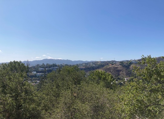
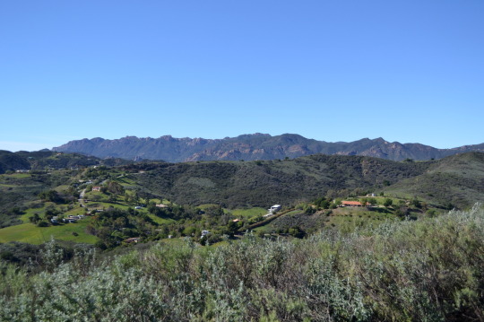
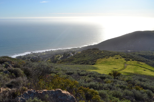
#Santa Monica Mountains
Text
#rosecoloredsunsets#eternal california#eternalcalifornia#mine#california#aesthetic#beachside#los angeles#beach#nature#hills#santa monica#santa monica mountains
35 notes
·
View notes
Text
P-22 was buried where he most likely was born and where other mountain lions still roam. The sacred ceremony was not open to the public and was not recorded. To protect P-22’s remains, the location of the grave will not be disclosed.
“We had one simple goal: To try and be as respectful as possible to such a magnificent animal,” said Alan Salazar, a tribal elder with the Fernandeño Tataviam and Ventureño Chumash tribes. “He was a leader. He was a chief.”
In one of the most powerful moments of the ceremony, a red-tailed hawk wheeled overhead and called out several times, attendees said.
During the ceremony, tribal members performed traditional songs and made offerings, Salazar said. Attendees also formed a circle, and anyone “who wanted to offer a prayer, or just say a few words, express their feelings, everyone was allowed to do that — Native, non-Native.”
“It was a beautiful, natural setting,” said Beth Pratt, a regional executive director in California for the National Wildlife Federation. “Knowing the beauty of where he’s laid to rest, it gives me some comfort.”
March 4th marks the anniversary of P-22’s burial! Rest in peace to Griffith Park’s beloved king of the hill. 🕊️
28 notes
·
View notes
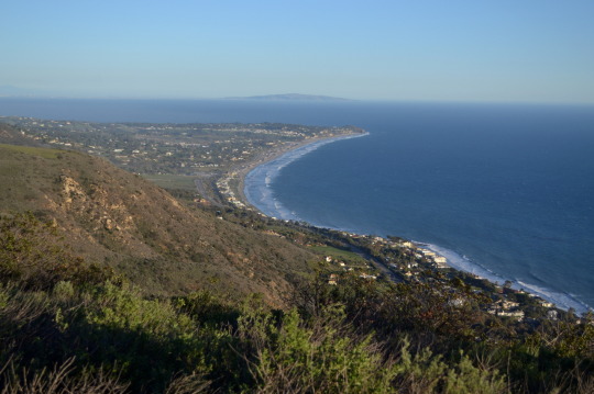
Text
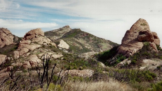
Sandstone Peak (949 m, also known as Mt. Allen), Ventura County, 1996.
#landscape#mountain#sandstone#santa monica mountains#ventura county#california#1996#photographers on tumblr
17 notes
·
View notes
Text

From April, 2024
#malibu#santa monica mountains#low hanging clouds#Leica SL3#clouds#mountain road#original photography on tumblr#april 2024
11 notes
·
View notes
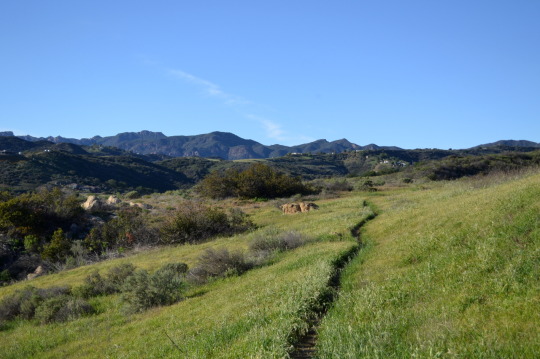
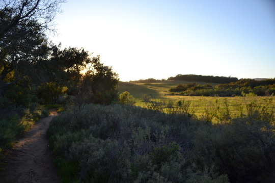
Text
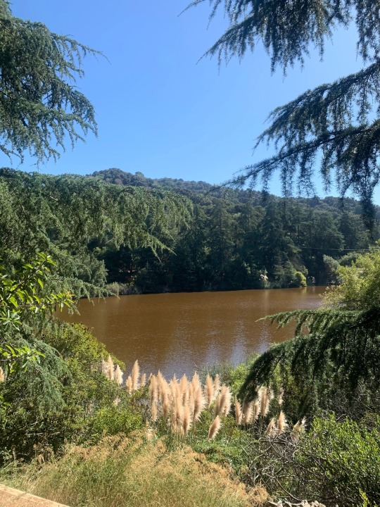
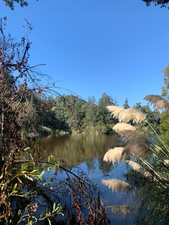
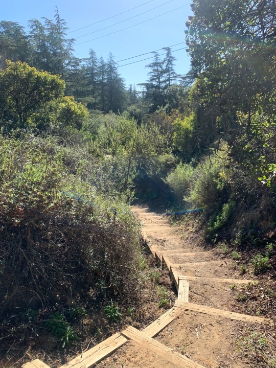
Hiking in the Santa Monica Mountains.
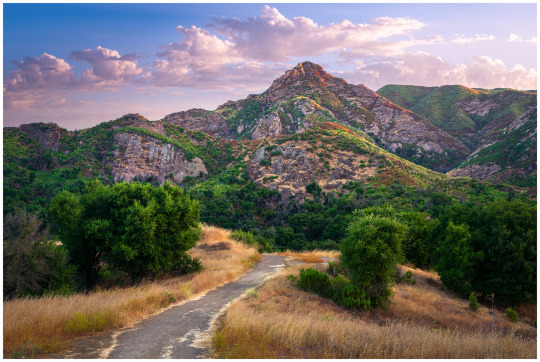
Since I can't get away to go further afield right now, I've been getting my hiking fix taken care of in more local wilderness spots. As it happens, this area is really very beautiful (at times) and there are some wonderful views to be found in its environs.
'Nuff said.
Let's go exploring.
#opt outside#nature#outdoors#no people#the hikers eye#landscape#go outside and play#landscape photography#nature photography#original photography#original photographer#hike#hiking#hiker#Santa monica mountains#trail photography
7 notes
·
View notes
Text

3 notes
·
View notes
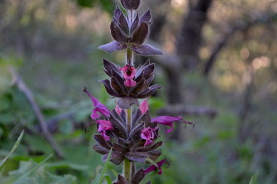
Text

6 notes
·
View notes
Text
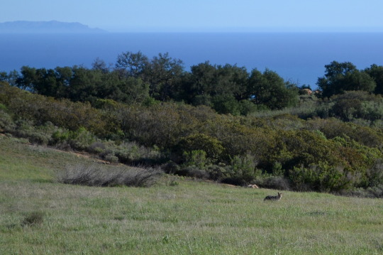

Malibu, California.
A short round in the hills above the ocean. That is a coyote just taking a moment to check that I am minding my own business as much as he is minding his. This part had an old residence on it, but not much was left of it but some foundation, a pump, and a reservoir. From March 2016.
#hiking#day hike#California#Malibu#Los Angeles County#landscape#ocean views#nature#hike#travel#outside#mountains#Santa Monica Mountains#Charmlee Wilderness Park
5 notes
·
View notes
Text
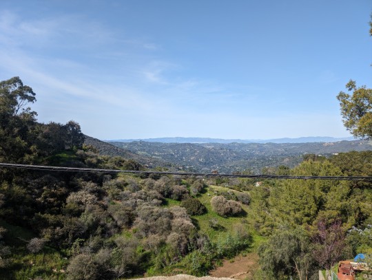
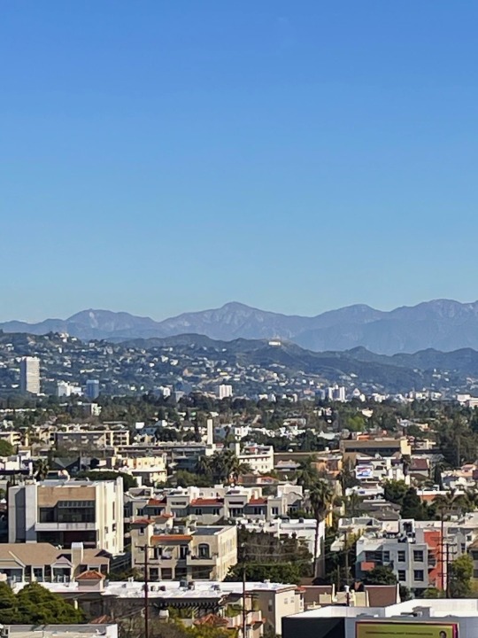
Views from the top of the Santa Monica Mountains, March 2024
#los angeles#california#photography#google pixel#tybg#fyp#photos#my photos#pictures of la#fixie#santa monica#santa monica mountains#mountains#insane elevation#beautiful skies
1 note
·
View note
Text

November 14, 2023
0 notes
Text
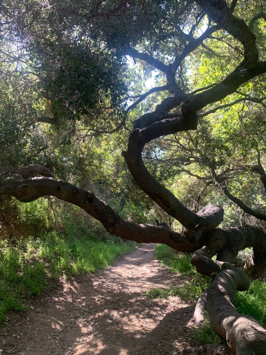
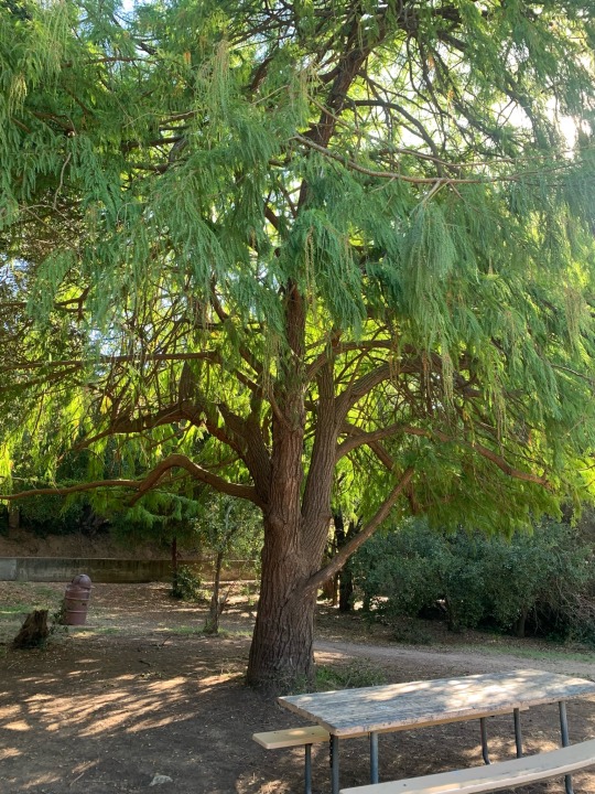
Betty B Dearing Mountain Trail, 3431 Fryman Road, Studio City, CA 91604
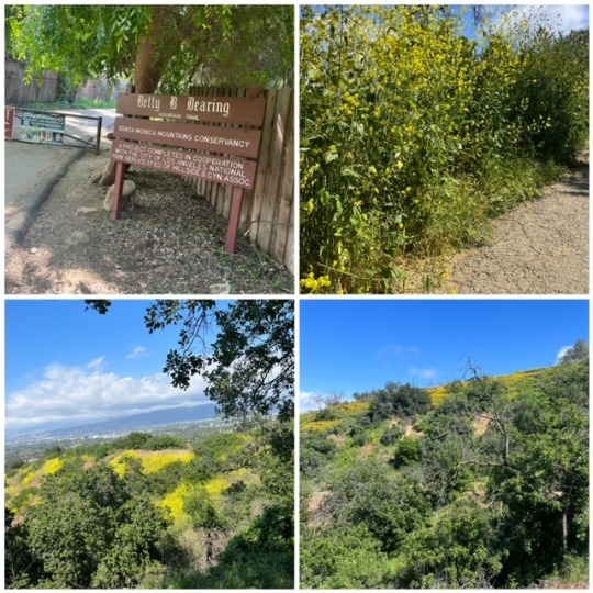
This trail through Coldwater Canyon Park and Wilacre Park in the Santa Monica Mountains seems to be one of the busiest in Los Angeles, even on a weekday afternoon. It does have some nice perks, including restrooms at the trailhead and at the peak, a parking lot (free parking), views of the San Fernando Valley, and the mountains.
While it seems to be open to cyclists, I only saw two of them during my walk. The trail is quite wide and paved with asphalt till you get closer to the peak. It’s mostly uphill though (971 ft elevation gain). I parked in the Fryman parking lot.
The trail is a 3-mile loop. There’s a sign near the peak that says loop back to the parking lot. Or you could continue on till you reach the end of the trail. If you continue to the end, walk through the swanky residential neighborhood down the hill and turn left to reach the Fryman parking lot. It took me an hour to get from the parking lot, walk the trail, and return to my car.
The hills were covered in wildflowers (mostly yellow mustard flowers) and the mustard plants towered over me. There was little shade.
The typical loop through Coldwater Canyon Park and Wilacre Park can be accessed from the parking area off Fryman Road and is three miles long, which makes for a great, introductory excursion.
Dogs are allowed but should be kept on a leash. Rattlesnakes are apparently not uncommon in the area but I didn’t see any. Watch out for poison oak. The trail was cleaner than usual (not much poop).
4 out of 5 stars
By Lolia S.
#Betty B Dearing Trail#Wilacre Park#Coldwater Canyon Park#trail#hiking#Santa Monica Mountains#loop trail
1 note
·
View note
Video
THE TUNNEL
Taking a scenic trip through the Santa Monica mountains on the way to the beach, sounds like a wonderful thing to do in Southern California. However, if said trip involves going through a haunted tunnel where a vengeful spirit residues, well, then it’s not gonna be a fun excursion! A simple plot and creepy practical effects create an enjoyable 3-minute horror treat!
#the tunnel#adam rose levy#short#short film#horror#horror short#ghost#ghosts#haunted#tunnel#pch#santa monica mountains#terror#fright#genre#junkyard demento
0 notes
Text
A horse ranch in the Santa Monica Mountains, CA
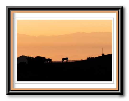
#photographers on tumblr#beauty#photography#landscape#art#horses#ranch#sunset#california#santa monica mountains#horse ranch#animals#nature#outdoors
0 notes
Video
youtube
Betty B. Dearing Trail: Nancy Hoover Pohl Overlook Short Path
Rich Riggio and Jessica Chortkoff bring the audience along on another local Hollywood/Studio City hike, this time taking the shorter side of the Betty Dearing Trail, which veers to the right from Nancy Hoover Pohl Overlook. From the LA Times: "Nancy Hoover Pohl was an environmental activist who fought to preserve Fryman Canyon and other areas of the Santa Monica Mountains. In 1952, she persuaded Los Angeles to regulate hillside growth. When officials threatened to build the Laurel Canyon Freeway in the 1970s, linking Los Angeles International and Palmdale airports but slicing through the Santa Monica Mountains en route, Pohl took her lobbying to Sacramento."
http://articles.latimes.com/2001/sep/...
#youtube#hiking#couple#nature#birds#funny#santa monica mountains#betty dearing#trail#pohl#overlook#environmental#activist#fryman canyon#hills#plants#owl#short hikes#city#los angeles#california#romantic#jessica chortkoff#rich riggio
1 note
·
View note
Text

#california landscape#treetops#oak trees#quercus#bougainvillea#getty center#santa monica mountains#pacific ocean#los angeles
2 notes
·
View notes
Photo
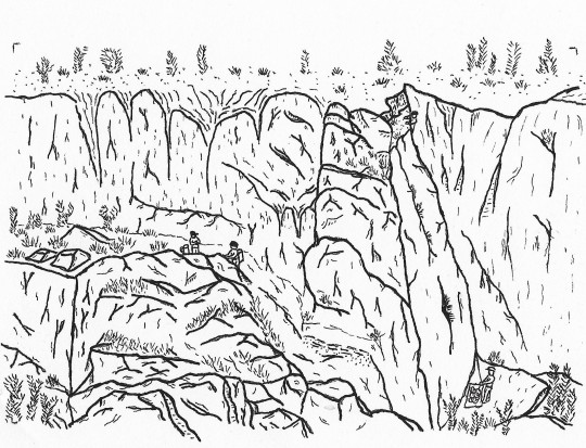
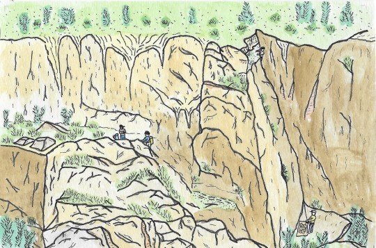
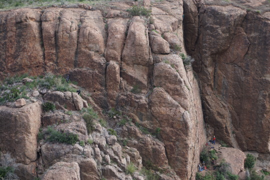
Echo Cliffs, Santa Monica Mountains, California
#echo cliffs#drawing#landscape#rock climbing#los angeles#california#santa monica#santa monica mountains#los angeles basin#crag
1 note
·
View note
Last Seen Blogs

jeandejard3n
Mister Ambience

arte-tetra
---

kettlefitsport
Kettle Fit Sport®

awada-shop
Awada Shop

bit608
bit608