dalilandd
CaosCalmo
Trova qualcuno i cui demoni siano compatibili con i tuoi.
568 posts
Don't wanna be here? Send us removal request.
Last Seen Blogs

vincestp
Vince Staples

bbddyxo
𝕭𝕭𝕯𝕯𝖄

gayforsoup
Beyond Hope

finbuzzco
Untitled

herhighness-myprince
herhighness-myprince

Photo
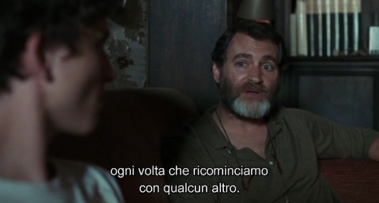
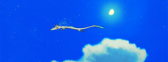
Game of chess anyone?
This is pretty cool. What we are seeing here is an area of 23 x 20 kilometres along the Idaho-Montana border crammed between Clearwater and Bitterroot National Forests. You will notice a checkerboard pattern within the land area; each square covering an area of around 1.6 x 1.6 kilometres. Each square hosts trees, which are harvested at different times and have different timber densities and regrowth stages. As a result, this natural pattern has formed.
The image was taken with the Advanced Spaceborne Thermal Emission and Reflection Radiometer (ASTER) on-board Terra, the flagship satellite of NASA’s Earth Observing System (EOS).
-Jean
Image courtesy of NASA
4K notes
·
View notes
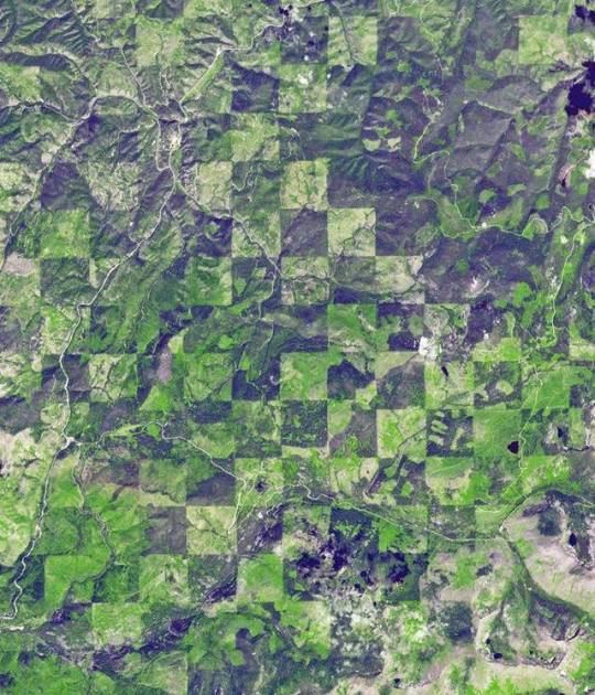
Photo
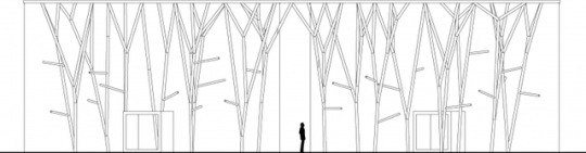
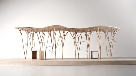
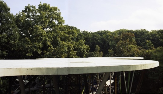
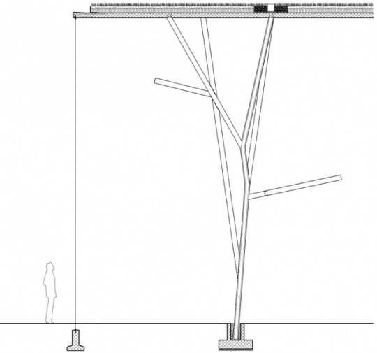

The birds (Aviary for exotic birds of Bois-de-la-Bâtie zoological garden, Geneva) - group8
249 notes
·
View notes


Text
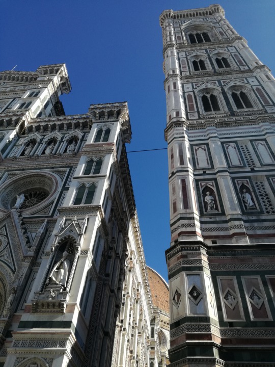
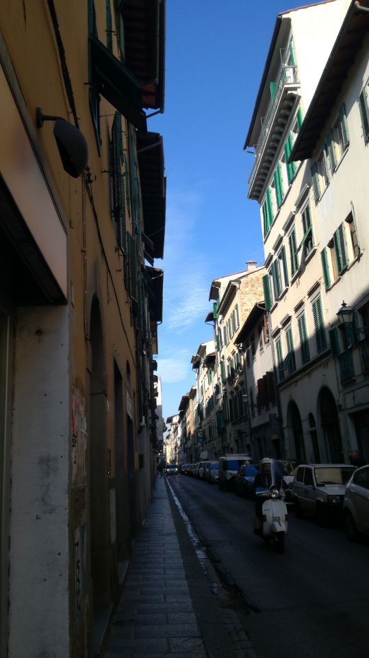
#firenze#florence#church#brunelleschi#campanile#italianlandscape#italy destinations#made in italy#sunnyday
1 note
·
View note


Photo
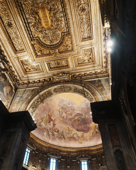
Devi avere una visione Che va oltre la visuale (presso Basilica della Santissima Annunziata) https://www.instagram.com/p/B8E-5vMorrK/?igshid=lz7x4ktvsdfh
0 notes
Text
Esiste il sole allora
3 notes
·
View notes
Photo
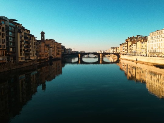
⏩ (presso Ponte Vecchio) https://www.instagram.com/p/B68a6LsK11m/?igshid=b6ol459qj0yo
0 notes