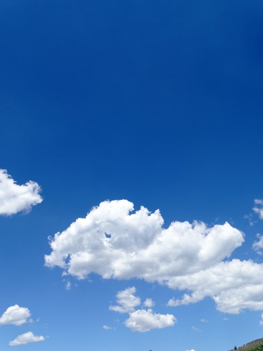
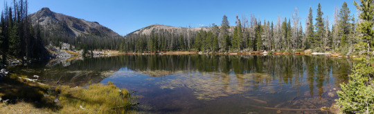
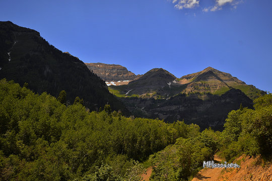
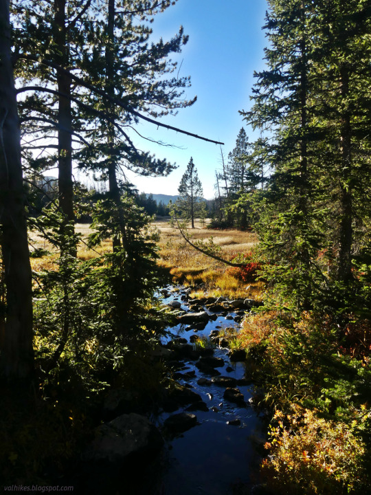
#uinta mountains
Photo
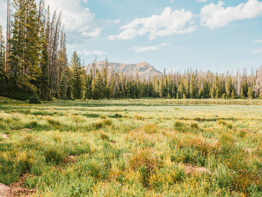
uinta wilderness
Instagram
#uintas#wilderness#reflection#forest#woods#summer nature#summertime#camping#great outdoors#beautiful#best of nature#pic of the day#green nature#peace and quiet#utah#fresh air#nature#uinta mountains
3K notes
·
View notes
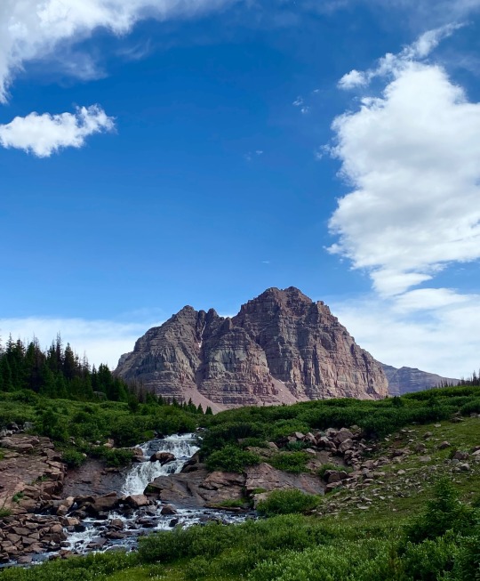
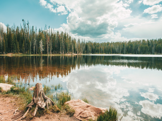
Photo
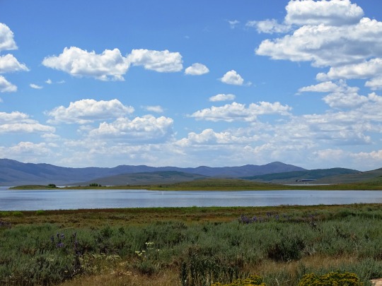

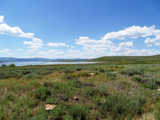
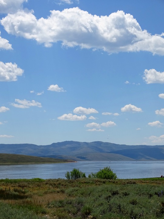
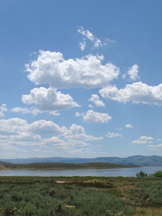
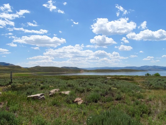
Clouds (No. 923)
Wasatch County, UT
#Wasatch County#Uinta Mountains#Strawberry Lake#Rocky Mountains#lake shore#original photography#summer 2022#tourist attraction#landmark#alpine meadow#wildflower#blue sky#clouds#landscape#countryside#road trip#Utah#Western USA#USA#woods#forest#nature#flora#stone
20 notes
·
View notes
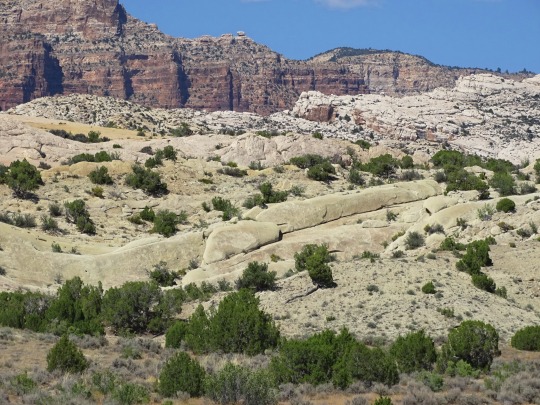
Text
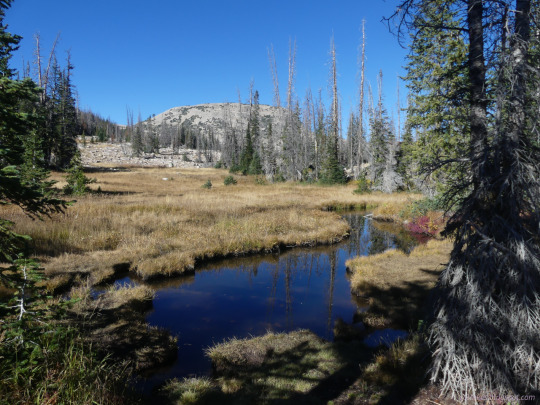
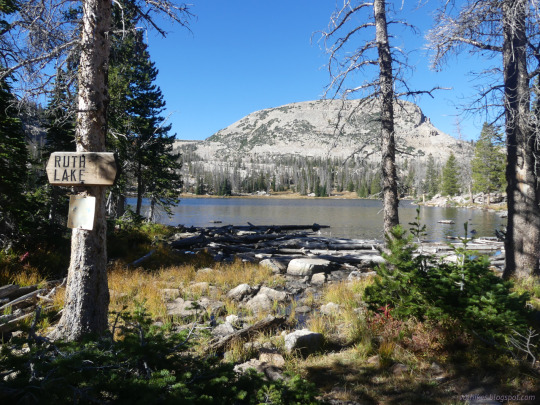

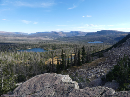
Uinta-Wasatch-Cache National Forest, Utah
Just a little hike up to Ruth Lake and some of its neighbors.
#hiking#day hike#Uinta Mountains#Uinta-Wasatch-Cache National Forest#Wasatch-Cache National Forest#Wasatch National Forest#Utah#short hike#nature#lake#Ruth Lake#Jewel Lake#Fir Lake#landscape#travel#hike#outside#mountains
0 notes
Text

1 note
·
View note
Photo

Uinta Mountains, Utah
1 note
·
View note
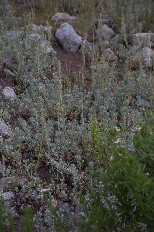
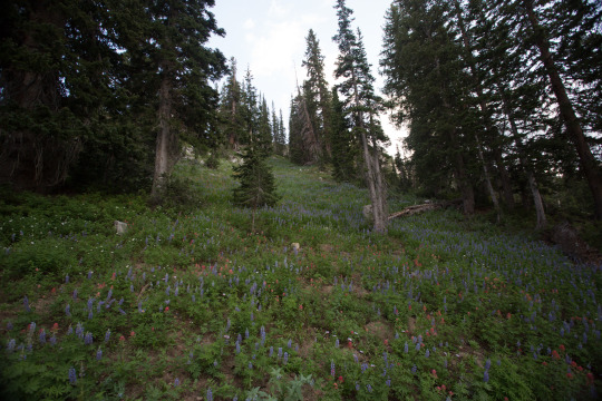
Text

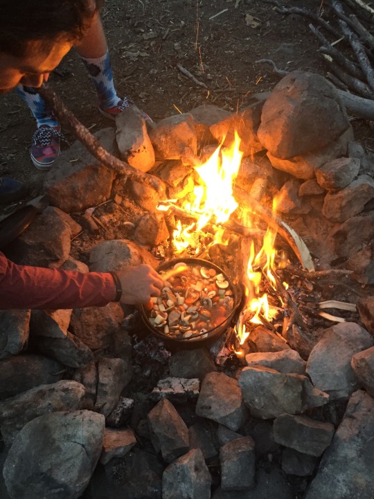
Uintas, SLC, Utah, August 2020
Tranquil mountain air and beef stew
#and shrooms#aesthetic#camping#tacoma#car camping#uintas#wasatch#mountains#alpine lake#wilderness#green#brown#camp cooking#beef stew#mushrooms
36 notes
·
View notes
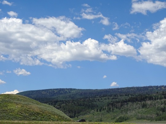
Text
Uinta National Forest
#uinta national forest#Utah#color photography#nikon#travel photography#photographers on tumblr#landscape photography#scenic views#scenic vistas#sundance#nature#mountains#beautiful places#outdoors#hiking#usa
39 notes
·
View notes
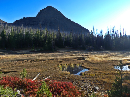
Text
Red Castle, Utah - High Uintas - July 2022
#utah#mountains#hiking#backpacking#adventure#camping#high uintas#wild flowers#summer#hikingadventures#hikingwithdogs#red castle
21 notes
·
View notes
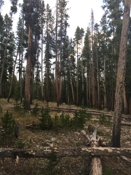
Text
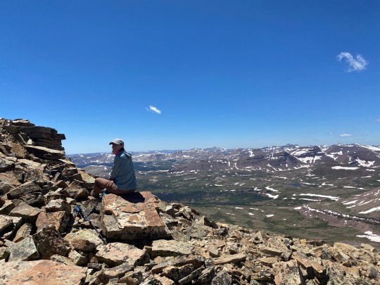


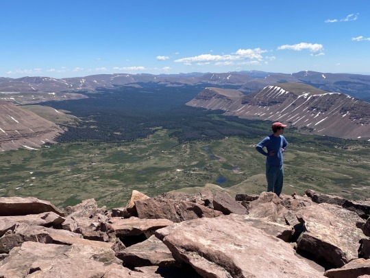

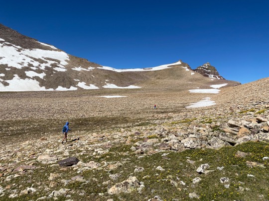
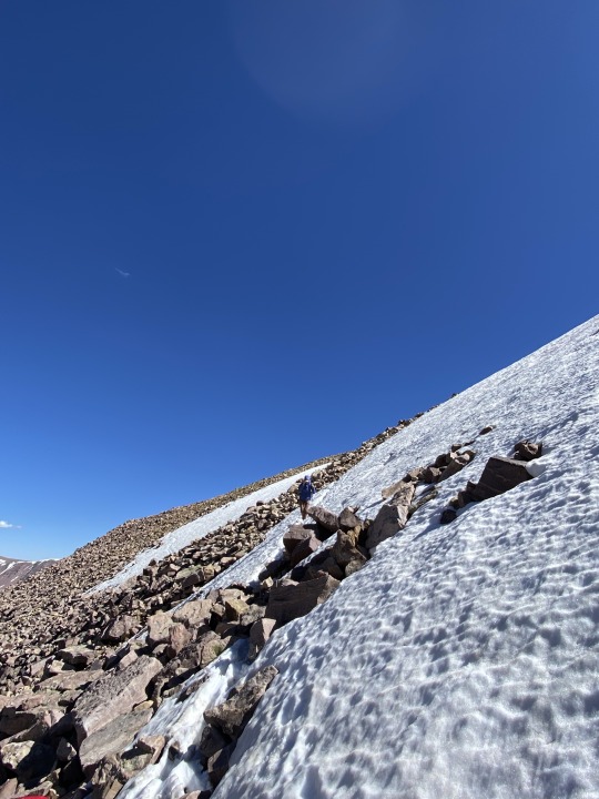
King’s Peak (again)
25.0 mile roundtrip
4,202 feet elevation gain
Link: https://www.alltrails.com/trail/us/utah/kings-peak-utah-highpoint-trail
Back again in the High Uintas, but this time with friends! I was joined on this trip by Emily, Kenny, and Chris, with Nick, Eliza, and Brady meeting us on our second day.
We got to the trailhead in the early afternoon with the goal of setting up camp at Dollar Lake, roughly 7 miles in. The hike in was, of course, absolutely gorgeous. We saw so few people on the trail and had a great time playing Contact to keep morale up. 7 miles with a heavy pack is no joke, but everyone in our party absolutely killed it. We also talked to some people who said they saw a bear, so I was pretty happy with my choice to keep bear spray clipped to my pack. It’s surprising to hear of a bear sighting at this high of an altitude, though.
At one point we came upon a trail sign with somebody’s phone and backpack just sitting there. I thought it would be funny to take a couple selfies on the phone and leave it there, and we learned on the way off the trail that the phone belonged to someone who had broken their leg and gotten evacuated. WHOOPS! Gotta wonder why they didn’t take the person’s stuff with them too, but at least now they can look at our beautiful faces while they’re in bed recovering.
We made it to Dollar Lak just as the sun was setting and the bugs were coming out. We quickly ate dinner, pumped water at the lake, hung our food in a tree, and hit the hay for an early morning.
Chris decided to sit out the summit push because his back was hurting, so Emily, Kenny, and I set out just the three of us. The hike turned into a slog and a bit of a game of map interpretation – I know we wanted to hit Gunsight Pass as a shortcut, but we were having some trouble physically locating it. Luckily we were able to get some directions by another guy on the trail, because where I thought Gunsight Pass was located was not even close to where it actually was.
The pass, when we found it finally, was a tough uphill through the snow with lots of postholing. Then it opens up into this HUGE basin to cross before the final uphill to the summit. We pretty much just put our heads down and hiked, crossing the enormous rocks in the basin and aiming generally for the saddle that indicated the start of the final climb, official trail be damned (because we literally couldn’t find it).
With a final scramble up the ridge, we eventually made it to the summit, and suddenly every ache and pain was worth it. We had the whole summit to ourselves for about 30 minutes. Stupendous. We hung out, snapped some pics, ate some Snickers, and then started our long haul back down.
Fueled by Nuun to prevent the bonk, we really only ran into trouble when we got back to Gunsight Pass. From above, it looked like a totally alien world from what we saw earlier. The snow had softened a ton, the path looked even steeper, and we were tired. After some deliberation, we chose the “safest” path and pretty much had to downclimb the whole way. It was definitely spooky and exposed, and I’m really proud of how the three of us maintained our composure the whole way. The joy of adventure, the butt-puckering of navigating a steep snowfield with crazy exposure… what a combo.
After the pass it was just a straight shot back to camp. Being back in the valley with sweeping views of the surrounding mountains and alpine lakes, there are so few words to describe it. I was filled with such a sense of peace and awareness that I can really only achieve when in remote wilderness. And chasing those feelings is what keeps me coming back to places like this. What a world we live in.
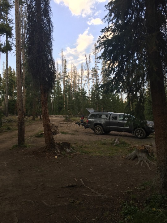
Back at camp, we met back up with Chris and were delighted to see that Nick, Eliza, and Brady were able to find us. After a long day of hiking, it was so nice to chill out by a campfire for the evening and kick it with our homies.
The next morning we had a quick breakfast and packed up camp to hike out. Before leaving, though, we decided to finally see for ourselves what it’s like to spray bear spray. We all took turns with it, and I have to say I was surprised by how short the range was… It only goes about 5ish yards, so you’re not hitting the bear until it’s up in your grill. Pretty scary to imagine the situation I’m in when I need to use the spray.
The hike out was a bit of a grind, especially after how exhausting the summit push was the day before. I’ve said it before and I’ll say it again, there’s almost nothing better than that first sight of the car after a long, long hike. Those hunks of metal are the equivalent to angels in those moments.
And that was that! We got up and down safely, and that’s all that really matters. I’m hoping next year we can do more of these trips with friends, and I’m thankful to have the homies that get just as excited as I do to suffer in the backcountry.
0 notes
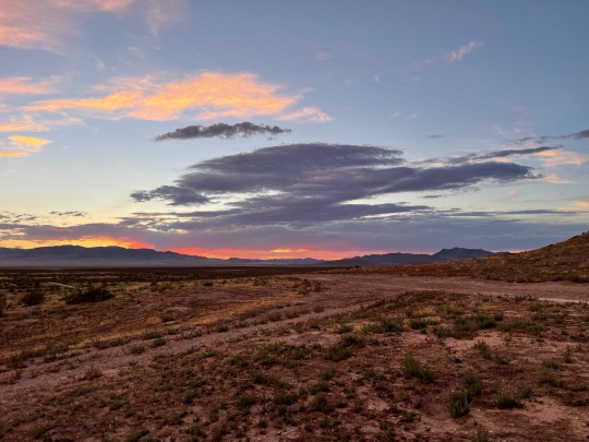

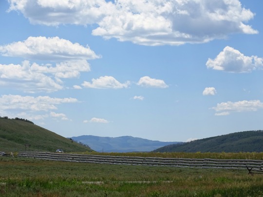
Text
Mountain View, Wyoming
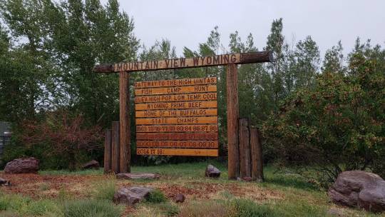
View On WordPress
0 notes
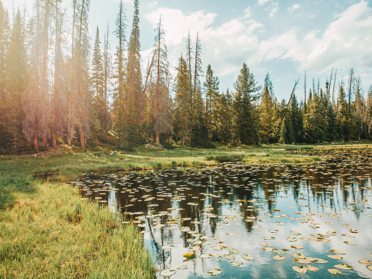
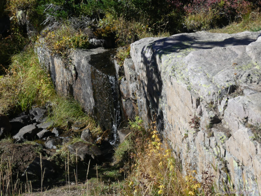
Photo

Instagram
#waterfall#lake#forest#woods#evening light#peace and quiet#great outdoors#camping#adventure#summer vibes#summer edit#nature pics#best of nature#nature photos#uintas#uinta mountains
3K notes
·
View notes
Photo
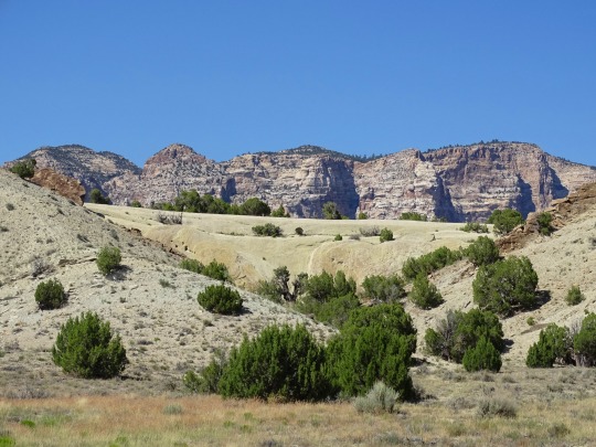


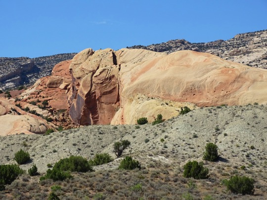
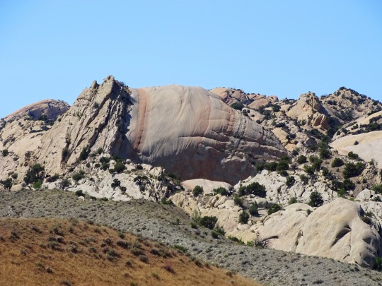
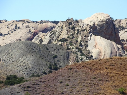
Dinosaur National Monument, UT (No. 6)
Twenty-three rock layers are exposed at the monument. These rock layers are remnants of extinct ecosystems spanning nearly a billion years, from ancient seas, to plains where dinosaurs roamed, to Sahara-like deserts that were home to tiny, early mammals.
The rock layers at Dinosaur make up one of the most complete stratigraphic columns exposed within the National Park System.
With the exception of the Ordovician, Silurian, and Devonian, all of the geologic periods are represented in the Dinosaur area. Almost all of the rocks exposed in the area are sedimentary and range in age from Precambrian (about 1,100 million years ago) to Miocene (about 25 to 10 million year ago).
Source
#Dinosaur National Monument#Uinta Mountains#Uintah County#Utah#USA#Rocky Mountains#landscape#countryside#geology#rock formation#landmark#Tour of Tilted Rocks#Split Mountain#street scene#nature#flora#desert#original photography#tourist attraction#summer 2022#Western USA#bush
22 notes
·
View notes
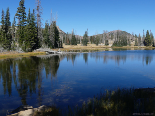
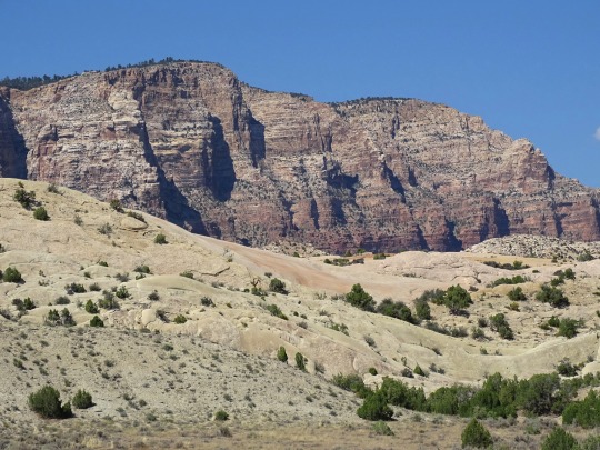
Text
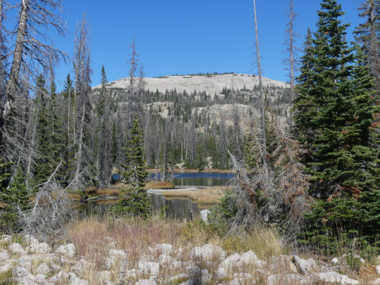
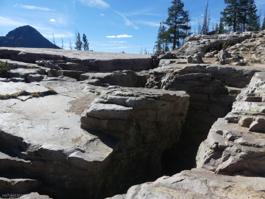
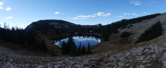


Uinta-Wasatch-Cache National Forest, Utah
Lofty Lake Loop, which had a few extra lakes along the way. The Lofty Lake was quite high and nice.
#hiking#hike#nature#Lofty Lake#Kamas Lake#Picturesque Lake#Scout Lake#landscape#mountains#Wasatch National Forest#Uinta-Wasatch-Cache National Forest#Wasatch-Cache National Forest#loop hike#travel#day hike#outside
3 notes
·
View notes
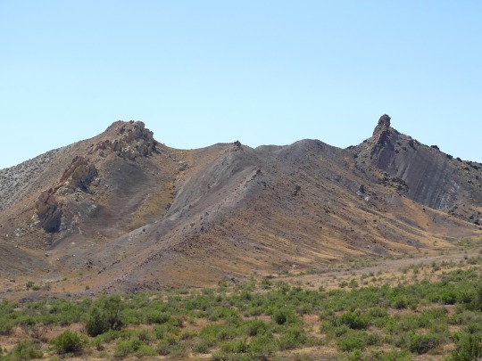
Photo

Cryptid of the Day: Utah Bigfoot
Description: In an 1977 article in the Standard-Examiner, a group of hikers in the Uinta Mountains claimed to have seen a 10ft gorilla covered in mantled, white hair. At first they thought it was an elk, until the creature stood up and walked away. They later discovered massive footprints.
85 notes
·
View notes
Photo


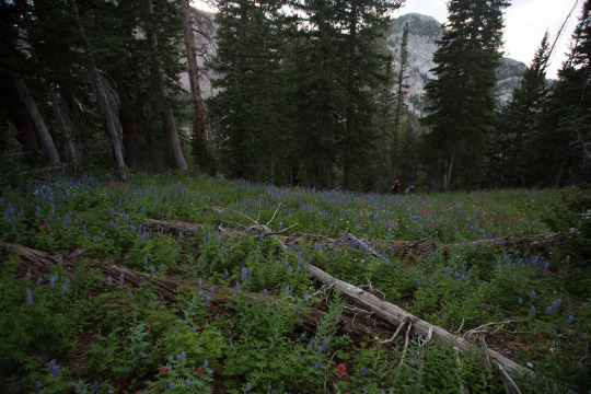

Freestyle hiking at Brighton in SLC, Utah, 2020
#slc#utah#uintas#wasatch#wildflowers#cottagecore#aesthetic#alpine#mountain#lake#reservoir#pit viper#roadtrip#sage#purple#red#colors
9 notes
·
View notes
Last Seen Blogs

barksnrec
Barks and Recreation Pet Services Inc.

tra1nchi
TRA1N

drudaymeghnathi
Dr. Uday Meghnathi

pensivefabulist
An Ill-made Knight

idntogel69
IDN TOGEL ONLINE